
 |
| Into the inland dunes, Schouwen. |
"Moist heather and rare plants such as parnassia and gentian flourish here, as does the moor frog. The dunes are a good place for fallow deer and roe to browse and rest."
Today it is overcast and I'll cycle around 50km, which is fortunate because all I feel like doing is riding. It's a bit cool (15º C). The trees end and a big flat expanse of heath opens up, much like the Hoge Veluwe. The path winds and rolls for a fun roller coaster ride. Then I reach a copse of deciduous trees, at the edge of which stands a warehouse: Renesse.


At point 76, I get a glimpse of Schouwen's north coastline, sparsely occupied by dog walkers and strolling couples on this overcast day. Point 76 to 84 is another sandy, roller coaster stretch along the inland base of the dunes. Sounds of surf, wood chopping, clucking birds. Low brushy vegetation, mezquite-like trees spreading like an open hand, lots of orange berries. Oldsters out hiking (with pro walking sticks) and/or cycling with dogs.
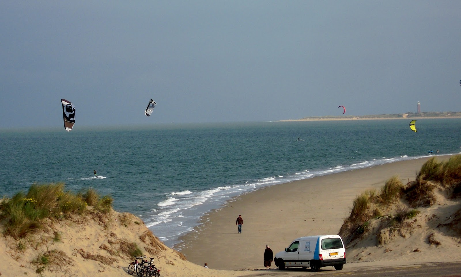 |
| Kite surfers, east of Renesse |


It's right. I arrive at the dunes of Goeree with a brick lighthouse and great flocks of birds swooping overhead. This "valley" is the Westhoofdvallei where "typical plants" like green-winged orchids (purple flowers) and adder's-tongue grow once again now that cattle no longer graze here.
So I'll be skirting the north coast of Goeree today. Paralleling the main trail is a path at the top of the dunes, with sweeping views of the coast though it is quite windy. Freighters with cranes ply the sea and the industry of Europort can be glimpsed off to the east.
At point 55 is an observation tower. The sea coast trail (the upper one) from 54 to 55 is brilliant, without much wind and superb views of the broad beach. The whole area is laced with hiking trails.
From here it is 25km to Brielle, a bit short of my destination. The path continues to skirt the north coast of Goeree to the bridge, where Goeree merges with the eastern part of the island called Overflakkee. East of point 55 it turns to a sand surface and winds up through the dunes, where I plucked some raspberries off a vine.
 |
| Goeree north coast trail. |
The bridge from Goeree (the Haringvlietdam) is another Deltawerks project with terrifyingly large sluice gates--imagine those things in action.
 |
| Fresh mussels? Uh-uh. |
From there I dropped into farmlands, the heartland west of Rotterdam: The old polders have been updated and given over to big agriculture: Farmall tractors, drainage ditches, plastic-covered bales, a field of kale about ready to harvest. Fortunately the wind has been at my back; I see that people cycling toward me are struggling.
 |
| Brielle |
Now approaching the end of my five-day journey, I stop at a weird little bistro at the base of the bridge to Rozenburg, across the Brielse Meer. It has a glassed-in terrace facing the waterway, plied by yachts and swans, and a little beach with lawn by the bank.
 |
| Bridge over traveled waters: notice the long bike ramp on the north side. |
 |
| Bridge No 2: to Rozenburg |
 From there I descended another ramp into Rozenburg and followed the signs to Maasluis, with a ferry symbol. I did not realize I would have to take a ferry. The path reached the Nieuwe Maas, the same waterway that runs through Rotterdam; at Maasluis it is 0.7km wide. One kilometer further west is the ferry landing. The big green ferry, carrying cars, motorcycles and bicycles, arrived in minutes, lowering a ramp and discharging its contents. Cost for a passenger with bike: €1.15.
 |
| Ferry cross the Maasluis. |
On the north side I rode a short distance east to the train station, a branch line that runs between Hoek van Holland and Rotterdam, and began my journey home.
No comments:
Post a Comment